We are walking the John Muir Way in short sections in no particular order or direction. We will use public transport from Edinburgh to get us to the starting point and back. This post is about the East Linton to Dunbar walk, one of the sections on the John Muir Way.
John Muir Way | Scotland
August was hot and dry, and our weekends were spent socialising or running errands, so we didn’t walk as many sections as we wanted to. We walked the East Linton to Dunbar section of the John Muir Way towards the end of the month, on a Friday. We took the X7 to East Linton.
After filling up on cakes at Bostock, we began the walk. The path, for most of the way, veered close to the River Tyne. South of Tyninghame, it skirted the mudflats of the Tyne estuary, venturing eastwards into the John Muir Country Park. From here, we walked the tidal flats of Belhaven Bay, then up the red sandstone cliffs of Dunbar to end our walk on the High Street. The East Linton to Dunbar section is the final (or starting) leg of the John Muir Way if you intend to walk the entire route in order. There’s a link path that connects Dunbar to Cockburnspath, which is at the start of the Berwickshire Way. At Dunbar, you can visit the house where John Muir was born; it is a museum now where you can find out about John Muir’s legacy.
It was a lovely walk, though the blazing sun meant that we were sweating and had to stop too many times to drink water and rest. My favourite part of this walk was the clifftop section in Dunbar– windswept and stunning on a gorgeous day like this! To read about other sections of the John Muir Way, see the following posts:
- South Queensferry to Bo’ness Walk
- South Queensferry to Water of Leith Visitor Centre Walk
- Water of Leith Visitor Centre to Prestonpans Walk
- Prestonpans to Aberlady Walk
⭐ Booking your trip via the links on this page will earn us a small commission, at no extra cost to you. Thanks for your support – Mohana & Aninda.
East Linton to Dunbar Walk: The Route
East Linton to Belhaven Bridge – 10 km
Our first stop was Bostock, our favourite bakery, where we shared a sumptuous sausage roll and a delicious carrot and walnut cake. Breakfast done, we headed off towards the lovely village of East Linton. We walked past the library and turned right onto Preston Road. Right after Prestonkirk Church, there’s a sign for the John Muir Way. Follow it, and enter the woodlands. From here, the John Muir Way follows the River Tyne to Tyninghame. We cross a narrow wooden bridge; in the distance, we can see the top of Preston Mill. It looks like a witch’s hat.
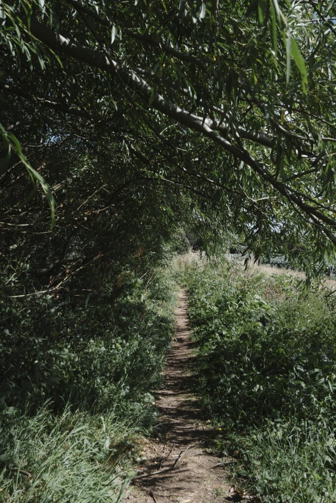
In August, at the peak of summer, the path is overgrown. There was an abundance of brambles and wild raspberries that shone like garnets in the sun. Clumps of green algae clog the river. To our right, there is a Phantassie Doocot. We cross another bridge and enter a field of Brussels Sprouts. In the shimmering glare, it appears to be a blue-green sea of crucifers. I am already thinking of all the sprouts I will roast and eat; they are one of my favourite vegetables! The scenery is unchanging for a while, so it may feel a bit monotonous, especially if you aren’t drooling on images of roasted sprouts in your head.
NOTE: If, like us, you want to breakfast at Bostock for setting off, there’s a shortcut to the John Muir Way. Across the street from Bostock, there’s a lane that leads to Phantassie Doocot. Just before the doocot, turn right and follow the footpath towards the river to join the John Muir Way.




We walk under the A198 and enter another field, and meet our first walkers of the day. Soon, we reach a very interesting stretch of the walk. It looks like an endless mudflats embroidered by streams. The River Tyne meanders through it, and there are little rivulets. The land is wet, as if the water has receded recently. This is the estuary of the Tyne. We spot flocks of white-winged waders feeding at a distance. There are curlews and oystercatchers, but on a marshy land of this size, you would expect to see more wildlife. The path skirts the mudflats, so we are walking on what seems like an elevated embankment dotted with thorny brambles and blackberries. We are exhausted and sweating, thanks to the glaring sun. Not a shred of cloud, no trees for shade, and only the gentlest of breezes.
On a cooler day, this is a lovely rest stop. Had it not been for the heat, we would have sat down on one of the benches and eaten a slice of cake that we had packed. But we press on. In the heat, this treeless stretch seems endless. We are eager to reach John Muir Country Park and find shade.
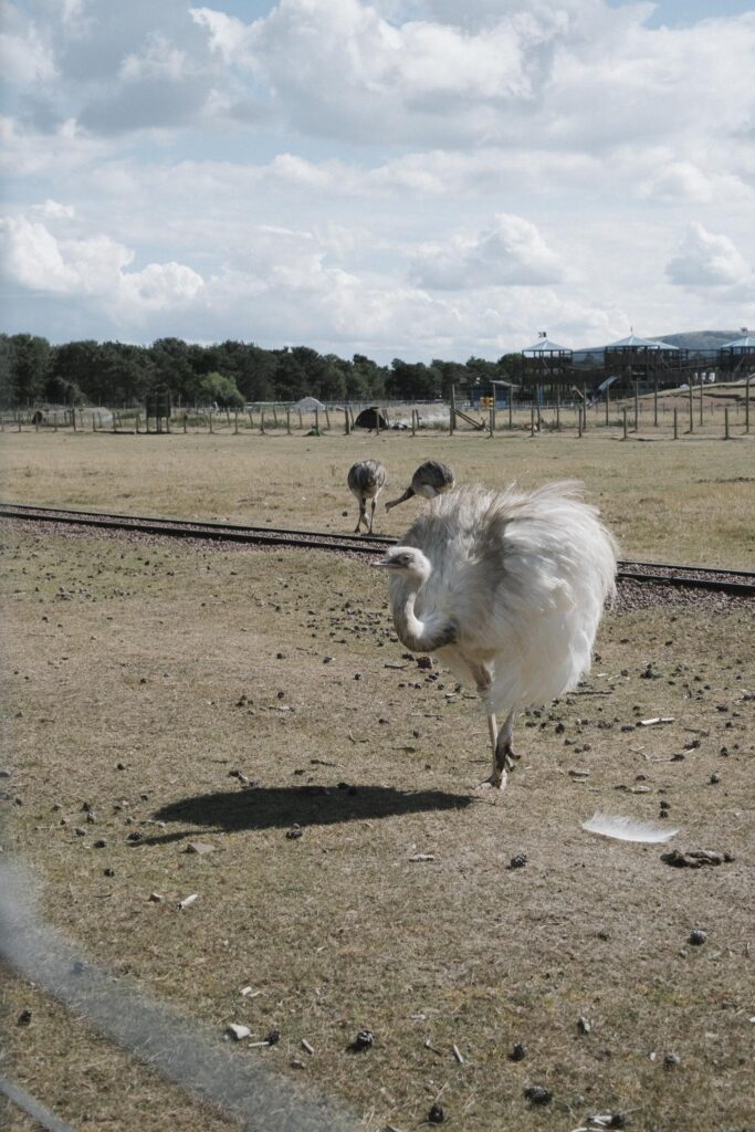
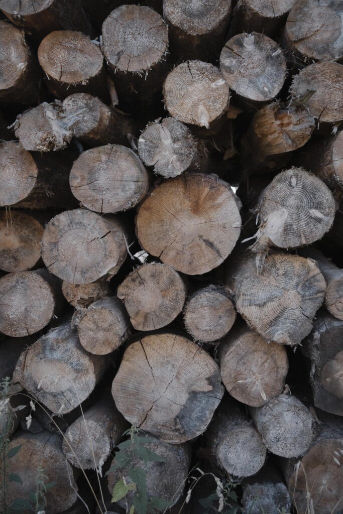
Another bridge, and we are in the shade of trees. Phew! We walk past piles of felled logs, and then suddenly, we spot a family of ostriches (they are rheas, I find out later) and some llamas behind a fence. It’s really strange to emerge from mudflats and woods right outside exotic wildlife. We are standing outside the East Lothian Family Park, I find out on Google Maps. We spend a while admiring the beautiful creatures, then head into the country park where we rest awhile, eat some cakes, and use the toilets.


Next stop: Belhaven Bay, but we stray from the route. Not intentionally, but because we were confused by the low tide. The official trail follows the road into Dunbar, but we walked across the tidal flats. We were halfway through when we realised our mistake, but we didn’t want to backtrack; both routes meet up on the other side of the Bridge to Nowhere. The tidal flats are soft underfoot; we walk over little bridges and over ribbed sand. There is an information board about the wildlife and flora on the flats, and a caution to only walk along the clearly marked path. On either side of the path, some sort of red flowers/plants are blooming. The sands are strewn with torn seaweed and fragmented shells. It is busy with families and dog walkers. I can see the North Sea, sparkling to my left.
Belhaven Bridge to Dunbar via the Dunbar Cliff Walk – 3 km
If you know us, you know we love a good cliff walk. One of our favourite cliff walks is the Arbroath Cliff Trail: From Auchmithie to Arbroath on the Angus coast.
We are on Belhaven Bay, which seems to stretch as far as the eye can see. The tide is out, and people are walking on the flats. We cross the iconic Bridge to Nowhere. According to Hidden Scotland magazine:
Belhaven Bridge, known as the ‘Bridge to Nowhere’, is a bridge across the Biel Water. The Biel Water is a stream that runs from the Luggate Burn through the village of Biel into Belhaven Bay. The bridge is something of a misnomer because at low tide it is actually used by locals to cross the stream and enter Belhaven Bay beach. However, after the tide comes in, water rushes in and fills the surrounding land, isolating the bridge.


If you look it up on Instagram, you will see photos of a bridge that appears to be floating in the sea at high tide. If the high tide is around sunrise and sunset, the colours are spectacular, and the bridge looks like something conjured by magic.
From here, the path climbs uphill. There is a staircase that takes you to the top of the cliffs, and the views are stunning. You can see all the way to Bass Rock from here. The John Muir Way follows the cliffside, thus sharing space with golfers and flying golf balls, so watch out for your head. The cliffs of Dunbar are red sandstone. Millennia of erosion have shaped them into arches, columns, and jagged stacks. Below us, the water is as blue as it can be, and the wind is refreshing. We make our way over the clifftops in the sun, wind-swept, and mesmerised by the scenery.

East Linton to Dunbar Walk: Useful Information
Logistics
- Distance: 13 km
- Signage: Mostly good, but sparse.
- Difficulty: Low to moderate. The cliffs of Dunbar are undulating, and the farmlands of East Lothian may feel somewhat monotonous, especially on a hot day.
- Public transport: East Coast buses and trains are available at both start and finish.
- Toilets: Available at various points at start and finish: Cafes in East Linton (you may have to buy something), East Linton library (only open Mondays and Tuesdays), Preston Mill (slight detour), John Muir Country Park, Dunbar Shore Road.
- Food: Cafes and pubs in East Linton and Dunbar.
What to Bring
- Comfortable walking shoes
- A camera or a smartphone for photos
- Water and light snacks
- Optional: binoculars for spotting birds along the tidal flats. We recommend the Merlin App for identifying birds.
Places of Interest Along the Way
Preston Mill (slight detour): Managed by the National Trust for Scotland, the mill is one of the oldest working oat mills in the country, with its core buildings dating back to the 18th century. Its most distinctive feature is the unique conical-roofed kiln, which gives the complex a fairytale-like appearance. The mill’s machinery remains in working order, and it operates using the power of the River Tyne. Due to its scenic charm, Preston Mill has also gained fame as a filming location, notably appearing in the television series Outlander.
Extra Tips
- Start early to enjoy quieter paths and better light for photos
Finishing Pint
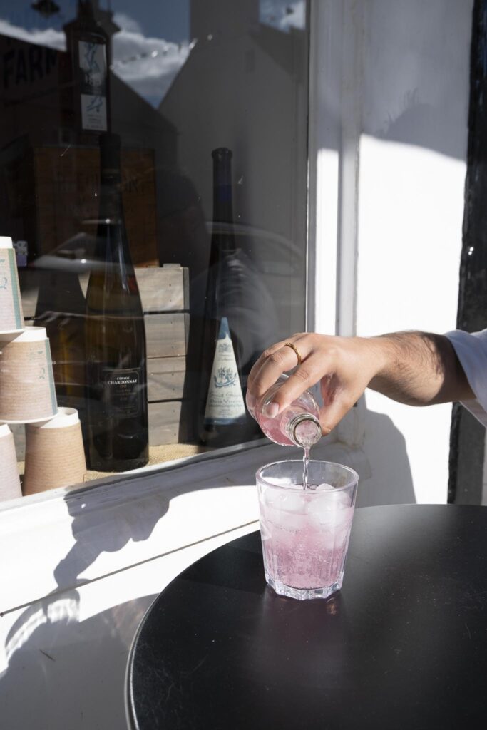
Because we are hungry and it is too hot, we eat some sandwiches and a bottle of Fentiman’s Pink Lemonade at Graze Coffee & Chocolate House. Sadly, no pint today.

Like it? Pin it!



Leave a Reply